

Austin weather: Storms roll through parts of Central Texas as hail falls in some areas
Austin weather: Stormy morning as cold front comes
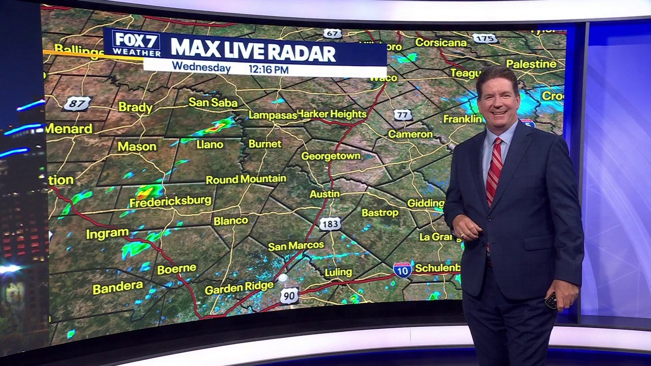
It was an active morning in parts of Central Texas. Zack Shields has all the details in his full forecast and talks about some cooler weather.
AUSTIN, Texas - Hail fell in parts of Central Texas as storms rolled through and much of the area was under severe warnings and watches that have now expired.
The backstory:

What a hail of a morning in the Hill Country with over a dozen reports of large and damaging hail.
The hail sizes ranged from quarter to baseball sized hail in Blanco, Burnet, Llano and Gillespie Counties.

The big chunks of ice came from two different storms.

The first one started near Mason and ended near Burnet. This one mainly produced quarter to egg-sized hail.

The second storm went from just north of Fredericksburg to Round Mountain, producing baseball-sized hail and a bunch of it to the point it started to pile up on the ground.

Dig deeper:
Llano County, Mason, Gillespie and Burnet Counties were under a Severe Thunderstorm Warning for several hours this morning, but those have all now expired.
A Severe Thunderstorm Watch had also been issued until 1 p.m. but that was canceled.

The storms formed along another late-season cold front and a piece of upper level energy was riding along the boundary at the same time to promote abundant rising motion. This extra lift in the atmosphere generated very powerful updrafts that went up 40 to 60,000 feet.
This fast-moving rising motion of 60 to 80 mph forces the super cooled water droplets to go to the top of the clouds where it is freezing and the chunks of ice are born.

If the updrafts are strong enough like this morning, the hailstones will cycle through the storm several times and get bigger and bigger.
Looking at some of the viewer pictures of hail, there were many rings to them telling us the hailstones cycled many times in the storm.

Some of the hailstones looked like they were formed from many small hailstones getting stuck together.

This happens when the upper level winds are violent making the small hailstones collide with each other and form bigger ones.

Why you should care:
Welcome to hail season which goes from March to June.
The severe weather threat for now is decreasing, but the next round of rain and storms will show up Friday and Saturday.
What you can do:
Track your local forecast for the Austin area quickly with the free FOX 7 WAPP.
The design gives you radar, hourly, and 7-day weather information just by scrolling.
Our weather alerts will warn you early and help you stay safe.
The Source: Information from National Weather Service and meteorologist Zack Shields.